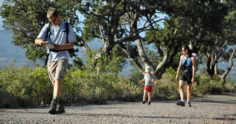
The Cap Roux loop
Departure point : Sainte Baume car park
Duration : 2 hours
Distance : 4.3 km (round-trip)
How to get there by car : Take the coastal road towards Agay and when you arrive at the roundabout in Agay take the exit marked “Massif de l’Estérel”. Go under the small railway bridge and past the shops (bakery, boat and car repairs…) then turn right onto a small road signposted “Massif de l’Estérel”. Follow signs for “Col Notre-Dame” and park in the Sainte-Baume car park.
Itinerary : Go up the steps leading to the chapel in the rocks. Follow the path until you come to the fountain (drinking water). Take the path on the right and continue for 50m then take the path on the left that leads uphill. Follow the path for about 1.5km and at the crossroads take a sharp left and head uphill towards the red rocks of Saint Pilon col. From here you have an exceptional view of the rugged coastline. The path follows the coastline and comes to another crossroads. On the left there is a path (deadend) that takes you 100 metres to the summit of Cap Roux and the viewpoint indicator (453m altitude with views from Cannes to Cap Camarat). Come back down the same path and turn left to continue your walk. You will head slightly downhill and away from the coastal side of Cap Roux towards the massif (don’t take the paths leading off to the right). You will arrive back at the fountain.
Alternative route : Just before coming back to the fountain there is a path on the left heading up the hill that leads to the Sainte-Baume Grotto where the Saint-Honorat hermit used to live (roundtrip 45 mins).


