Cycling itinerary: Saint-Barthélémy Loop
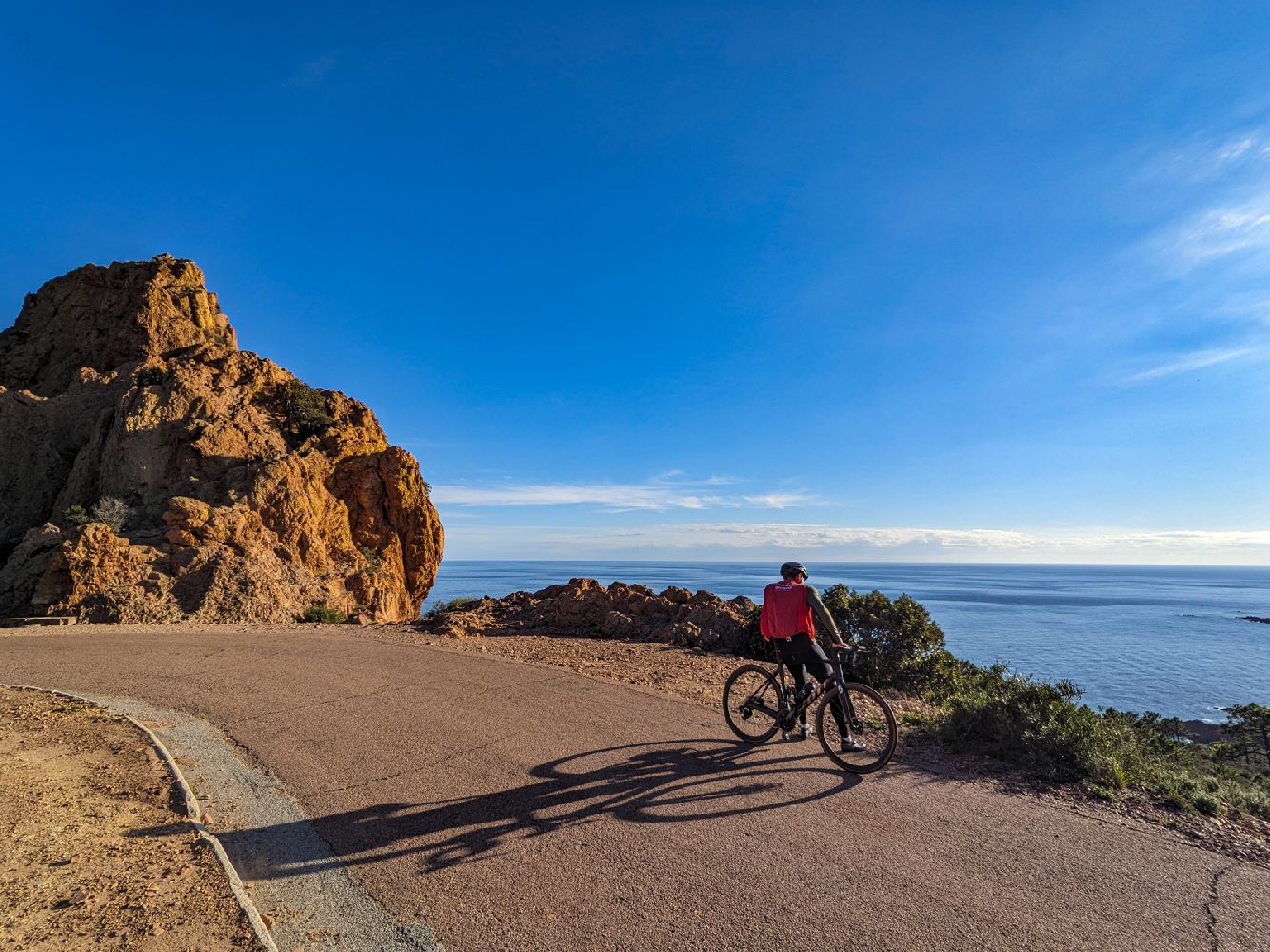
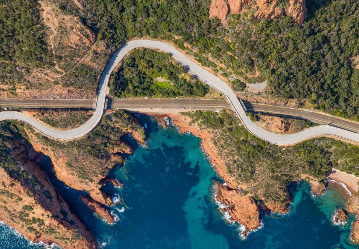
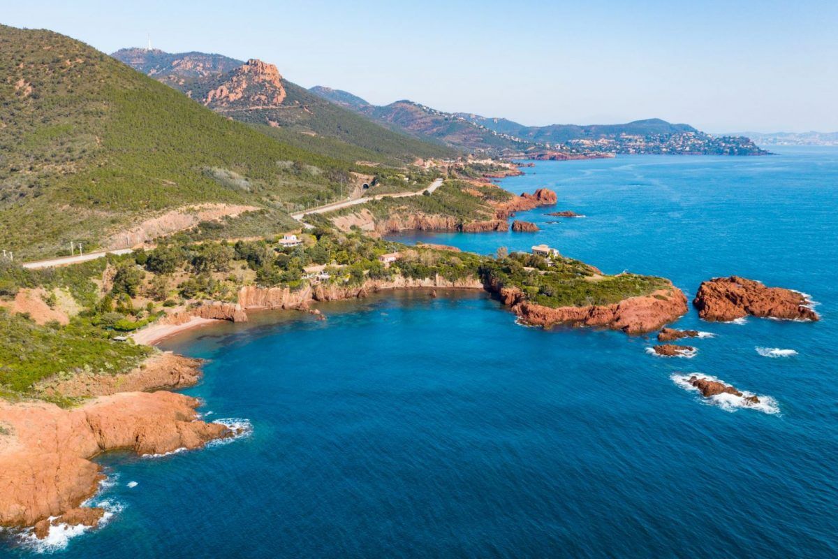
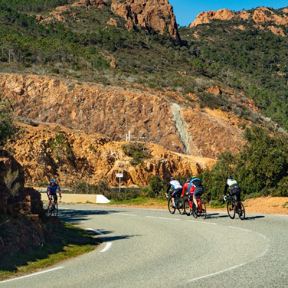
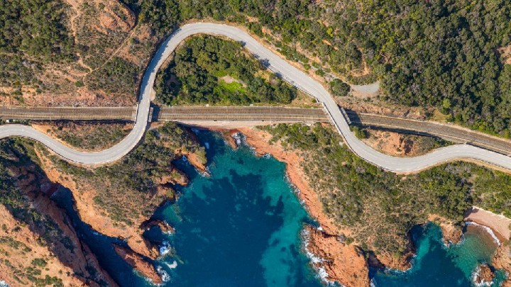
This itinerary will take you on an exploratory journey into an inland area of the massif and along the beautiful "Corniche d'Or", a spectacular coastal road along the Estérel coves.
> ACCESS
Join Agay, at the roundabout, take the direction "Massif de l'Estérel". Park on Place du Togo, 250m further on.
> STARTING POINT
GPS coordinates: 43.434231, 6.857667
Place du Togo, Agay
> ITINERARY
Take the avenue du Gratadis on the left for 1.4 km then turn right at the entrance to the Massif de l'Estérel.
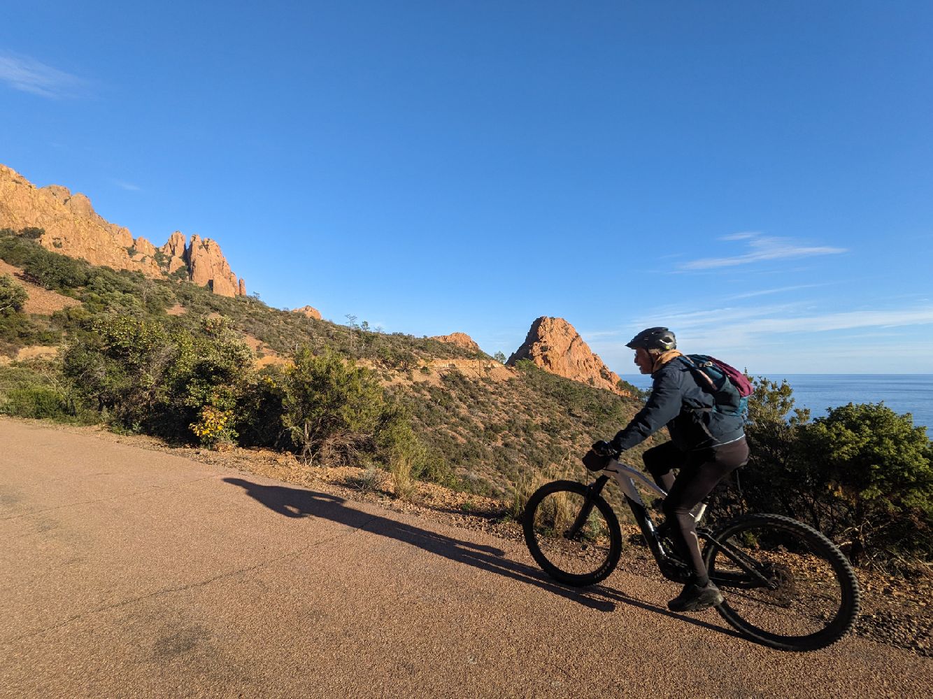
Pass the quarry and the Gratadis forest house, and follow the route du Pic de l'Ours road, taking the Grenouillet lake to the right (2.4 km).
Go up to the next intersection (1 km).
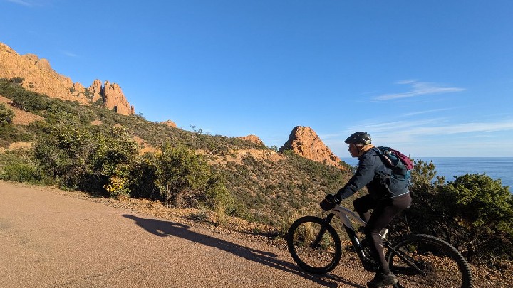
Turn right towards Rocher Saint-Barthélémy (for 2.9 km), until you reach the wooden barrier prohibiting the circulation of cars.
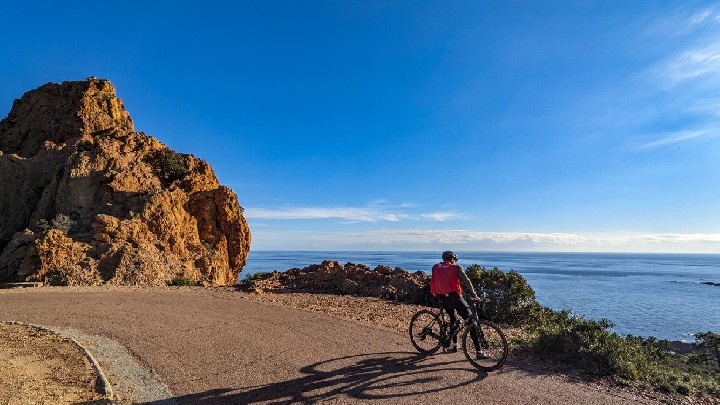
You are now on a route shared with pedestrians, please limit your speed. The route offers you a beautiful views over the 3.5 km of this portion high above the sea.
Then, you join the D559 road. Turn right. From there, you can reach the Agay roundabout at 7 km then turn right back to Place du Togo.
- Environnement
- Forest location
- Mountain location
- Languages
- French