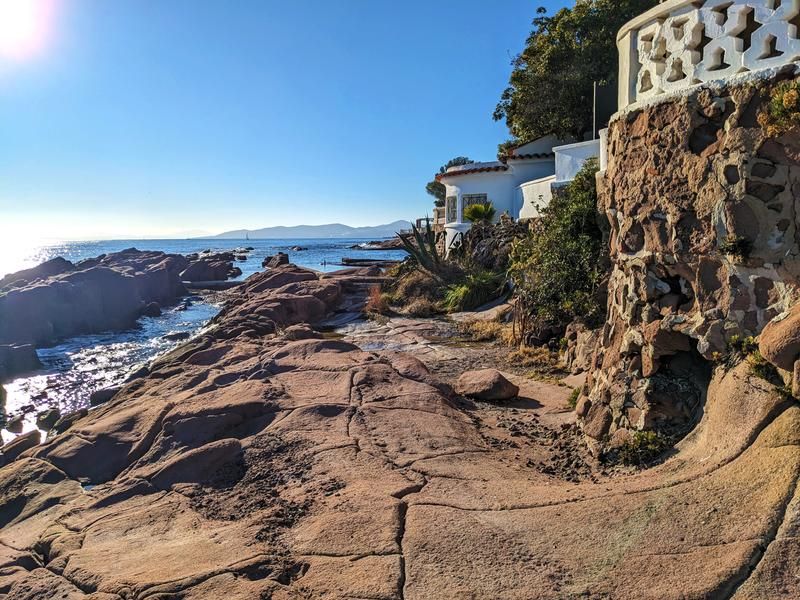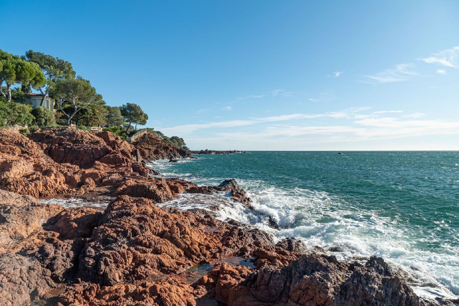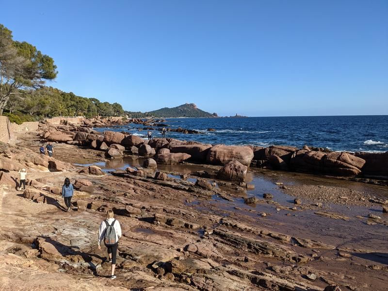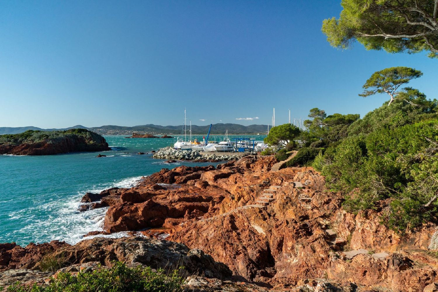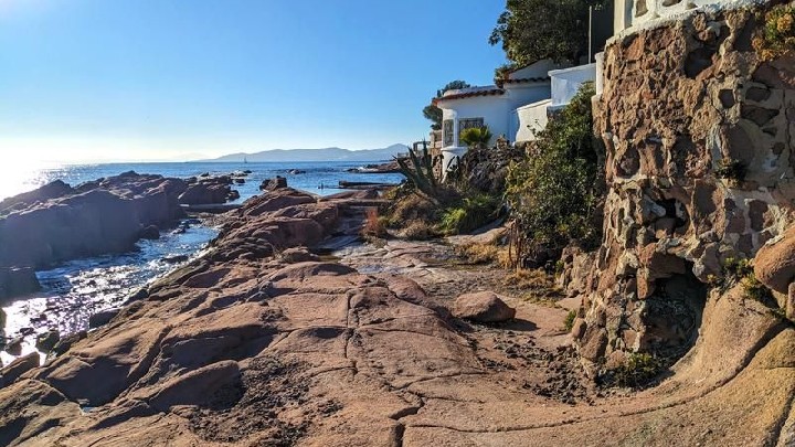
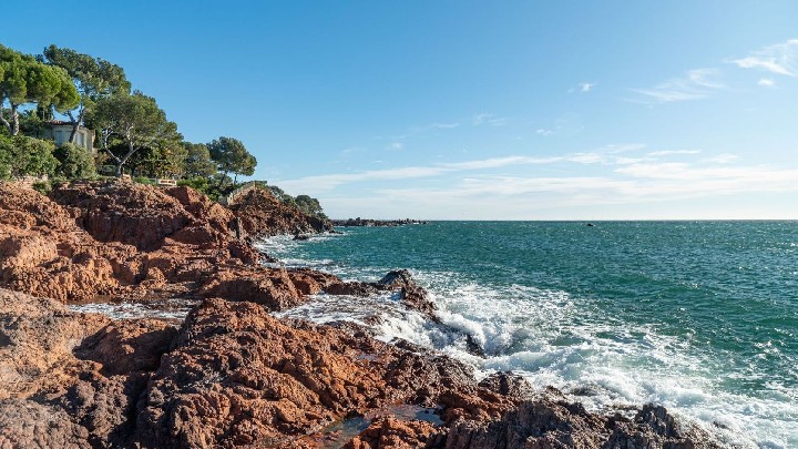
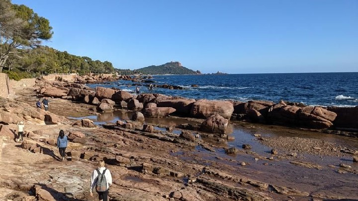
Hiking on the Saint Raphaël coastal path
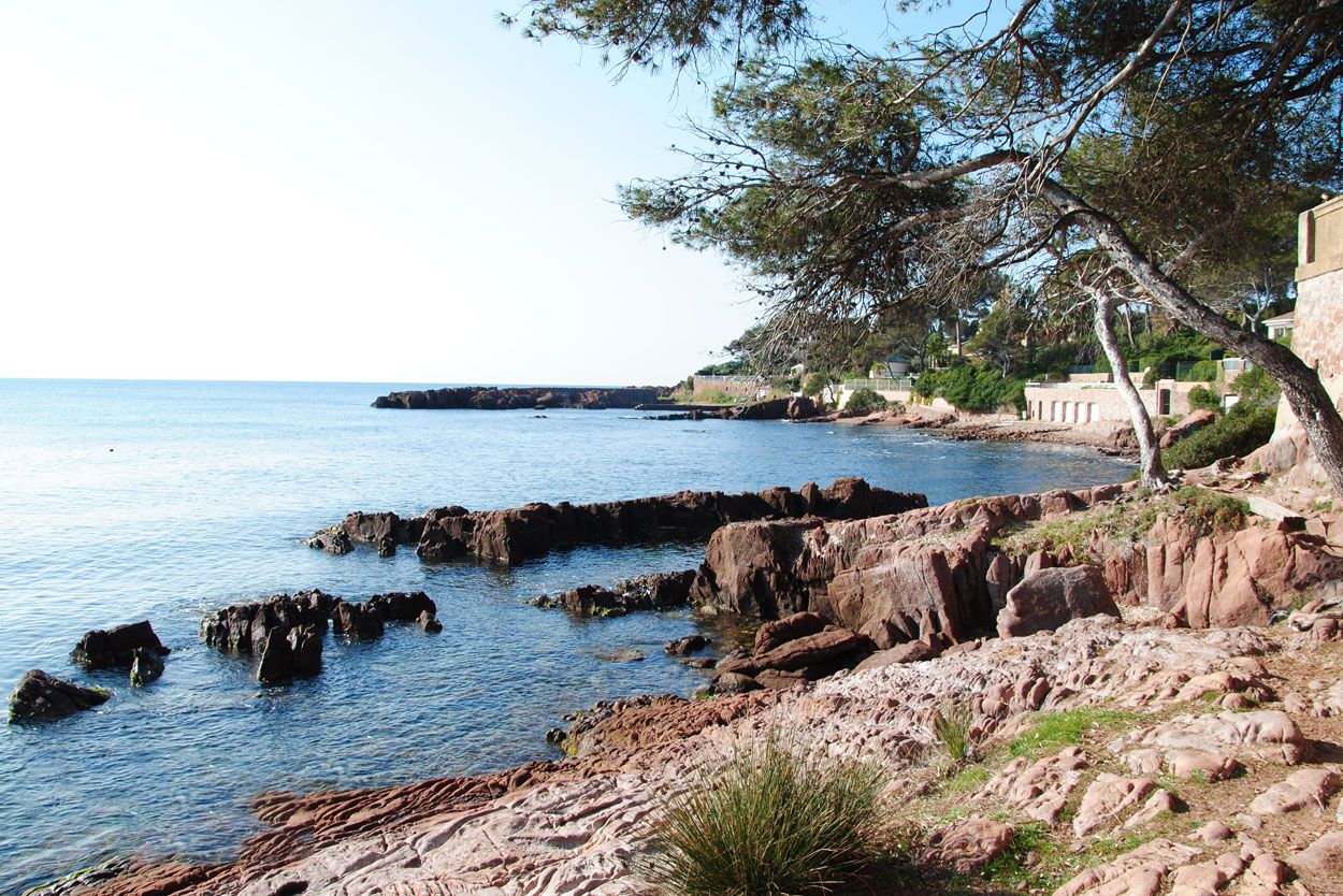
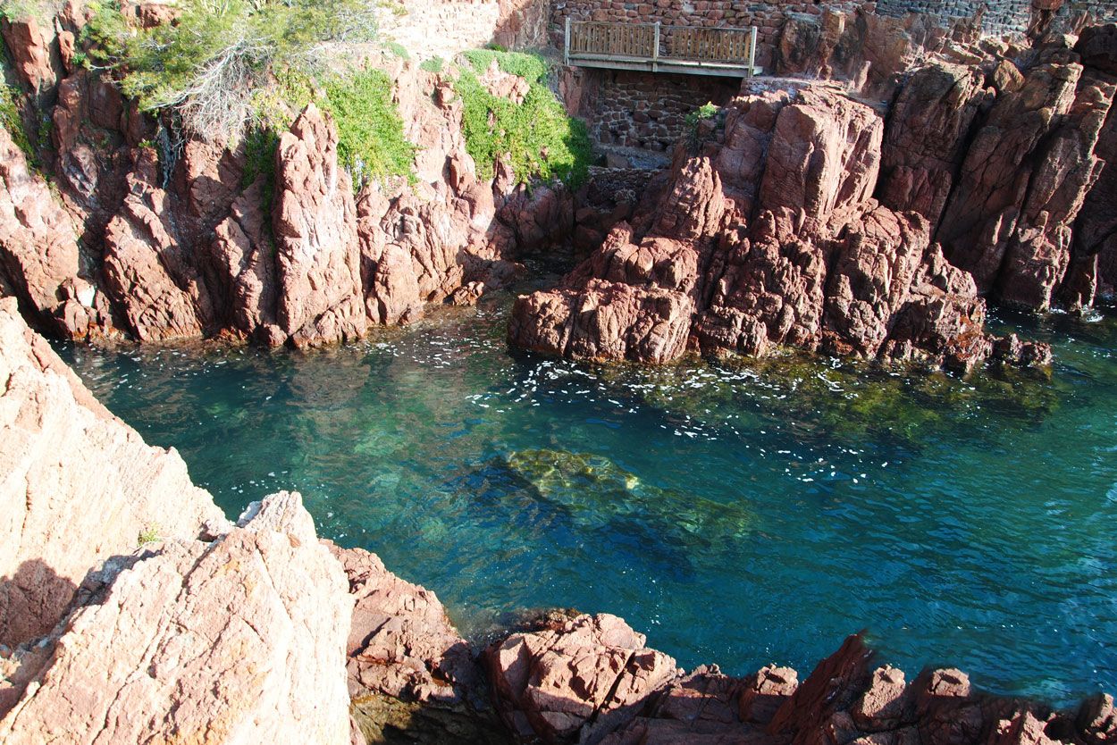
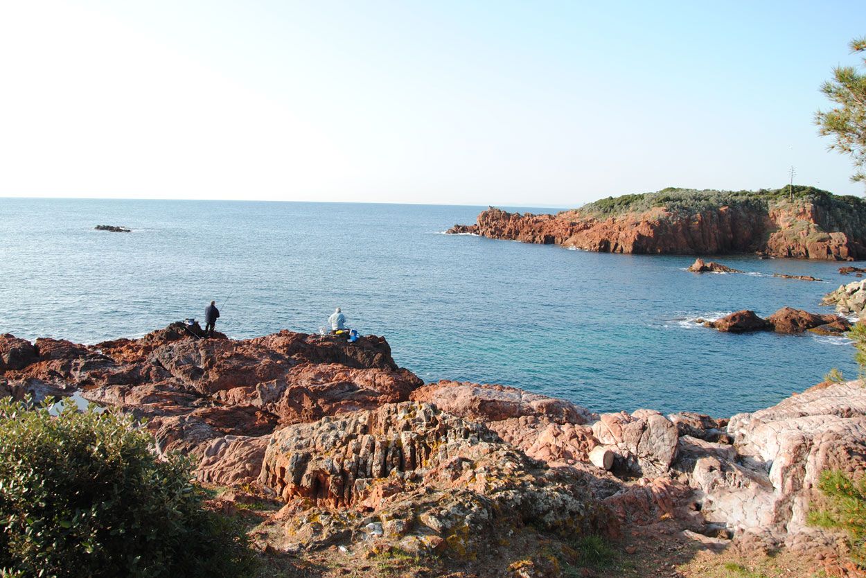
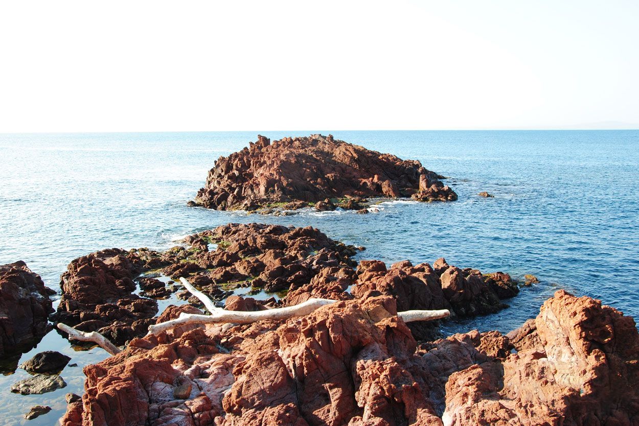
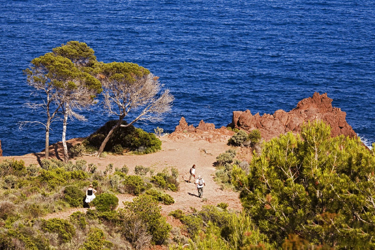
From Santa Lucia Port in Agay, this hike takes you along the old coastal control path from where you'll appreciate the beauty of our shores dotted with craggy coves and sandy beaches.
> ACCESS
You can start at two locations:
At the western end of the trail, at the Port of Santa Lucia (near the shipyard)
GPS coordinates: 43.409645, 6.783059
OR
At the eastern end, at Camp Long Beach (in Dramont)
GPS coordinates: 43.419533, 6.857469
Both sites have parking areas.
> ROUTE
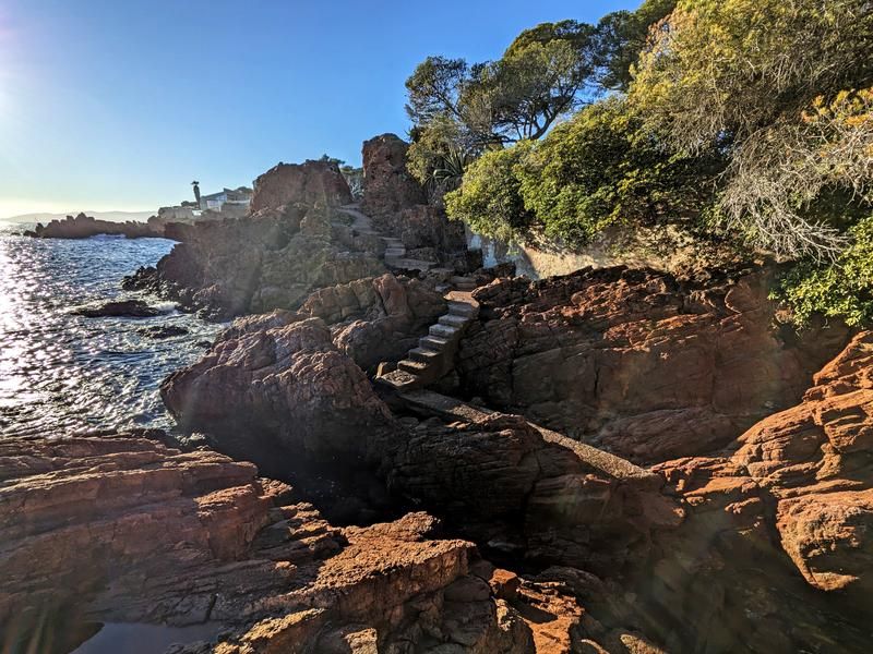
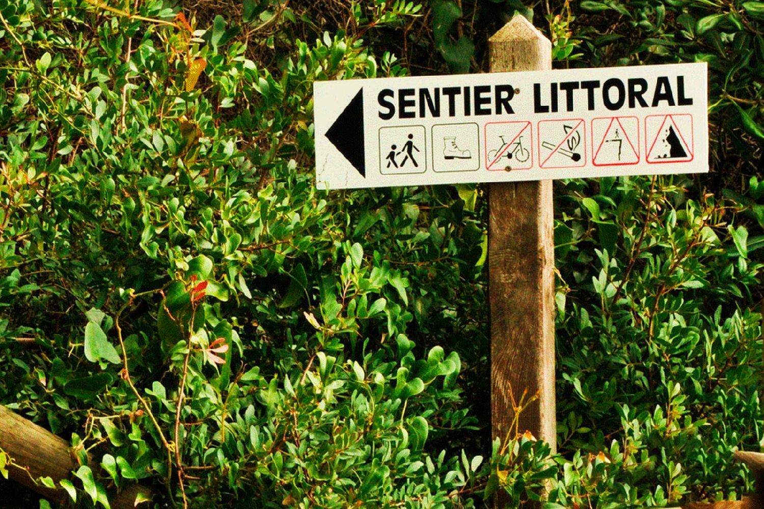
Follow the trail (marked with yellow signs). The trail winds between the sea and the Estérel Mountains.
Note: Between Débarquement Beach and the tip of Pierre Blave, the trail passes by the Dramont Lakes and thus veers away from the coastline for 1.2 km.
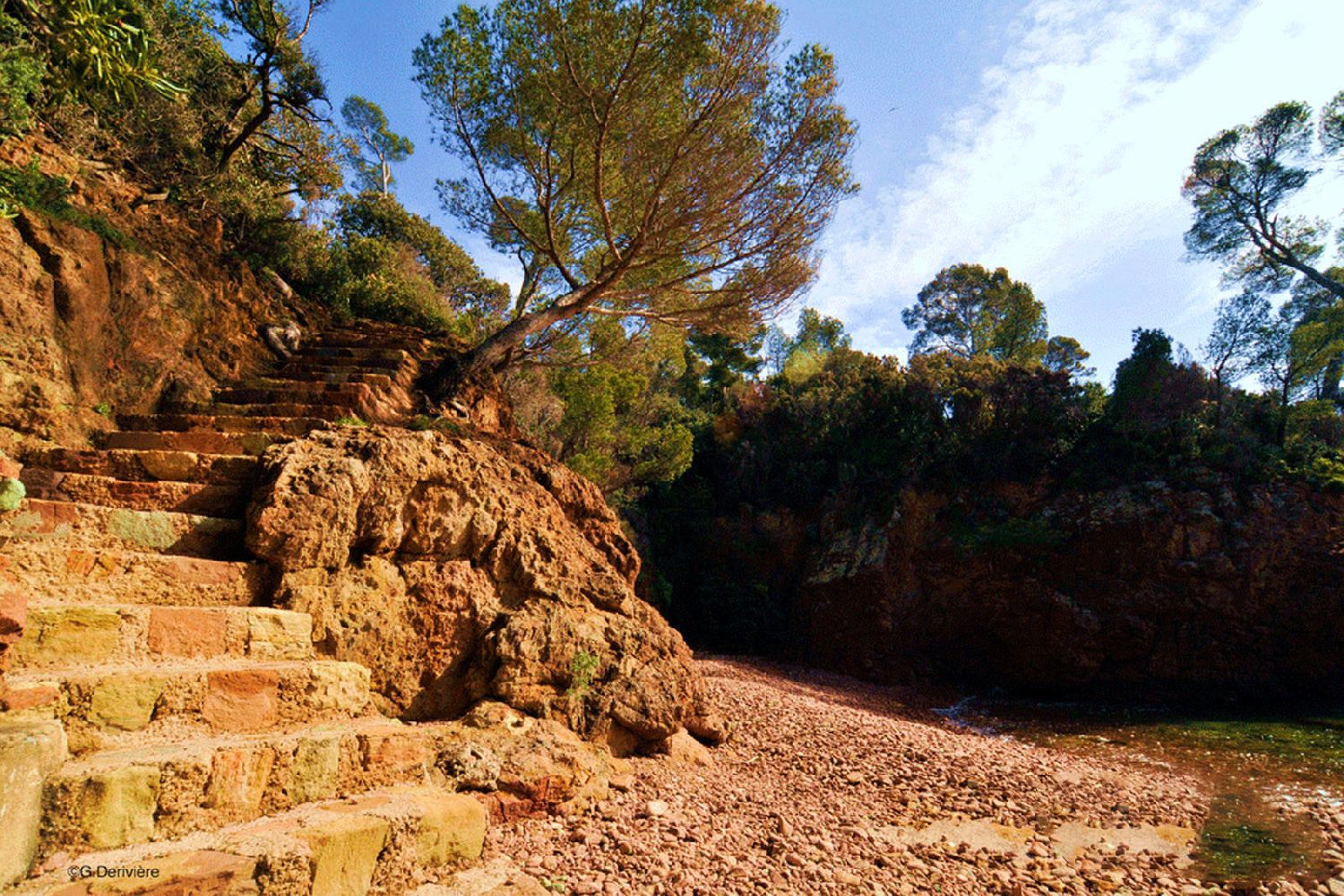
> Caution! Rocky trails requiring proper gear and constant attention, especially on the coastal rocks (which can be slippery).
*** TEMPORARY INFORMATION - CONSTRUCTION IN PROGRESS - WINTER 2026-2027 ***
Due to ongoing construction, it is not possible to descend to Port du Poussaï via the usual route; please take a short 650-meter detour via Boulevard du Sémaphore.
The GPX track reflects this route change.
To complete this entire route, we recommend taking public transportation to one of the starting points and walking back.
Please note that public transportation is infrequent; be sure to check the schedules in advance!
• By TER train (St. Raphaël, Boulouris, Dramont, or Agay stations)
• By bus:
• Line 21 (stops every 500 m on the RN98 between downtown St. Raphaël and Agay)
• Line 8 (stops every 500 m on the RN98 between Boulouris and Agay, only during the school year)
You can enjoy the trail without necessarily walking the entire length. You can hike sections (one-way or round-trip), such as from Santa Lucia to La Péguière // from La Péguière to the Port of Boulouris // from the Port of Boulouris to Aigue-Bonne Beach.
- Environnement
- Sea view
- Coastal
- Languages
- French