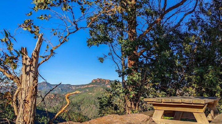
Hiking : Big bear tour
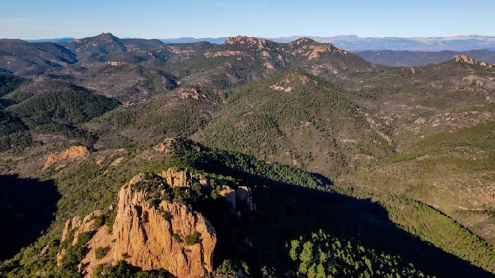
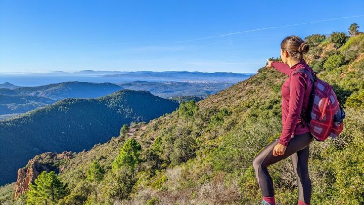
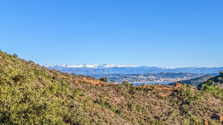
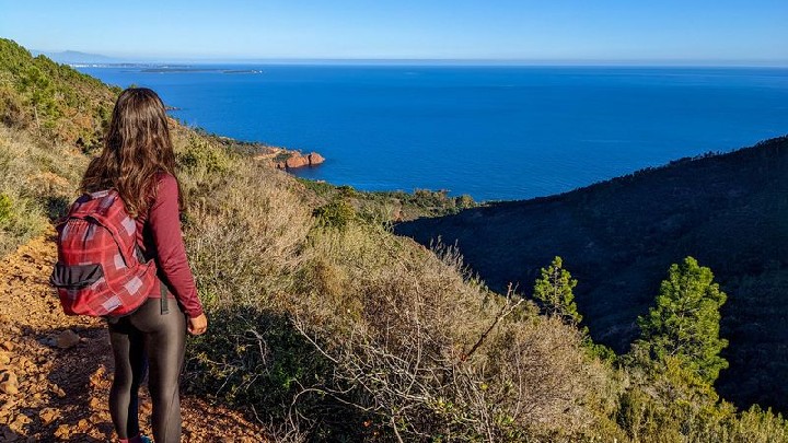
A hike that will make you discover the Estérel Massif with a beautiful view of the sea, the interior of the massif as well as the Mercantour
> ACCESS
By train : TER - Le Trayas stop
By car : Take the seaside in the direction of Agay then continue on the Corniche d´Or towards Le Trayas. At the "Relais des Calanques" hotel, take the road up to the SNCF station where there is a small car park.
> STARTING POINT
GPS coordinates: 43.474951, 6.924650
Col de Notre-Dame car park
> ITINERARY
Take the track that runs along the railway line towards "Pic de l'Ours"
After 300m, take the path that starts on your right, marked with yellow markings. 450m further on, you will come across a junction where there is a pile of stones. Turn completely to your right, still following the yellow markings (do not continue straight, yellow cross).
You will start to gain height and discover the Mercantour mountain.
At the end of this path, after 1.3 km, you will arrive at the parking called "Col Notre Dame" where a picnic table will invite you to take a short break.
At the Col Notre Dame information panel, take the blue path heading towards the "Pic de l'Ours" then, 50m later, at the intersection, turn left following the sign "Pic de l'Ours direct".
The climb is steep and takes place in the pines on a well marked path.
Your effort will be rewarded when you reach the top and discover the wide panorama from the viewpoint over the Lérins Islands to the bay of Saint-Raphaël Fréjus.
Continue on the road in the direction of the antenna, take the path marked out in blue which bypasses the antenna to the right. It will take you downhill to the foot of the massive Bear's Tooth rock ("dent de l'ours").
Take the yellow markings by turning left to follow the balcony path.
Enjoy the shade offered by parts of the path while admiring the view of the interior of the massif.
After 3km, you will find a road, at the crossing "Col des Lentisques", you will cross to catch up with the track still following the yellow markings. The path will lead you to your starting point.
- Environnement
- Mountain location
- Station district
- Close to a public transportation
- Sea view
- Panoramic view
- Languages
- French
