Du Pic de l'Escale aux Lentisques
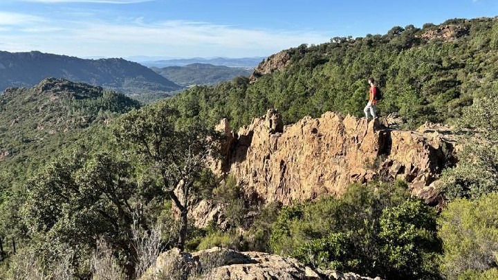
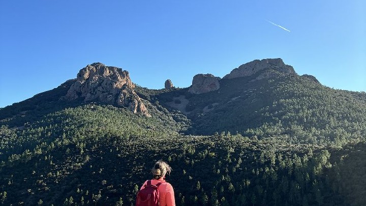
Discover stunning views as you venture into the heart of the Massif. This is a pleasant route with no major difficulties, offering a varied itinerary between pine forests, ravines and rocky overhangs, punctuated by sumptuous views in a rarely-visited area.
> ACCESS
Drive along the seafront towards Agay. At the Agay roundabout, follow the signs for "Massif de l'Estérel". Continue for 1 km and turn right onto the small road signposted "Massif de l'Estérel". Then follow the signs for "Pic de l'Ours" for 10 km and park at the Col des Lentisques car park.
> STARTING POINT
GPS coordinates: 43.470120, 6.908596
Col des Lentisques car park.
> DIRECTIONS
From the car park, walk 400 m along the road towards Agay.
(1) You will arrive at the Baisse des Sangliers. On the right, you will see a junction made up of 2 paths. Take the left-hand path, which becomes wider uphill (yellow cross). The track climbs very gently for 1.8 km through young pine trees. The view opens out onto Cap Roux and then Rastel, with the bay of Saint-Raphaël Fréjus in the distance.
(2) You come to a fork in the road. Here, take time to admire the view from the rocky overhangs on your left.
At the fork, take the left-hand path for 100 m.
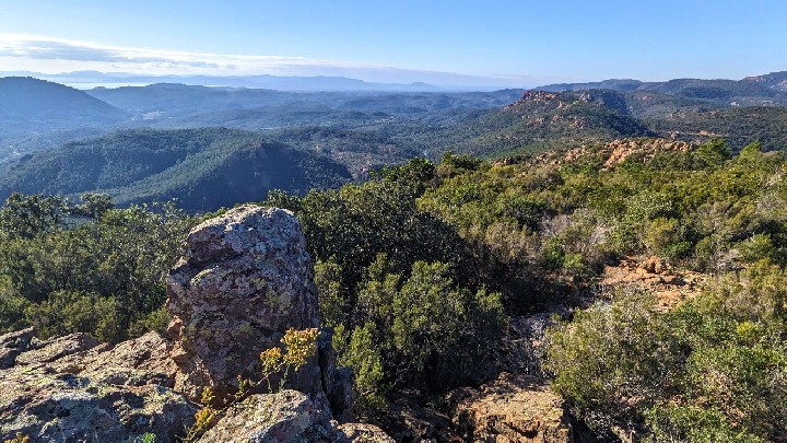
(3) At the next junction, we recommend you turn right (yellow cross) onto the small track that climbs 200 m through the forest to the summit of the Pic du Malinfernet (round trip) for a breathtaking 360° panorama, and why not take a picnic break? (4)
Return to the previous junction and turn right onto the path that begins to descend.
Enjoy the view of the Cap Roux before the path plunges down towards the Malinfernet valley.
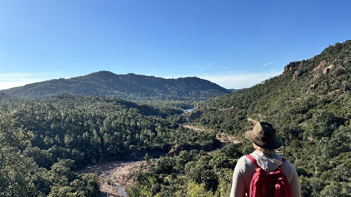
(5) After a winding descent, you reach the Malinfernet ravine and the route of the GR®51 / GR® 653A.
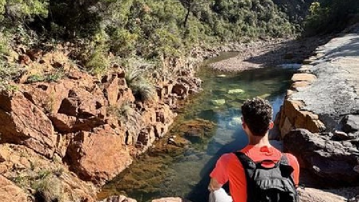
The route will start on the left. But first, we suggest a short diversion to see the Malinfernet stream (no need for a diversion in summer, when the stream is dry). Turn right and then immediately left for 50 m.
Retrace your steps as far as the fork in the path and continue to the right on the red and white GR®.
(6) The 1.5 km path overhanging the Ravin des Lentisques offers spectacular views of the summit of Cap Roux and St Pilon, and the faults below. You will pass to the right of a large boulder before reaching a new junction.
(7) Take the small path leading up to the left, marked by crosses. You now leave the GR® and climb steadily through the maritime pines towards the Baisse des Sangliers.
(8) After 2 km, you come to a U-shaped road. Walk along the road and turn left to reach the Baisse des Sangliers and then the Col des Lentisques car park, your starting point.
- Environnement
- Mountain location
- Panoramic view
- Languages
- French
- Services
- Pets welcome
